Bibliografía
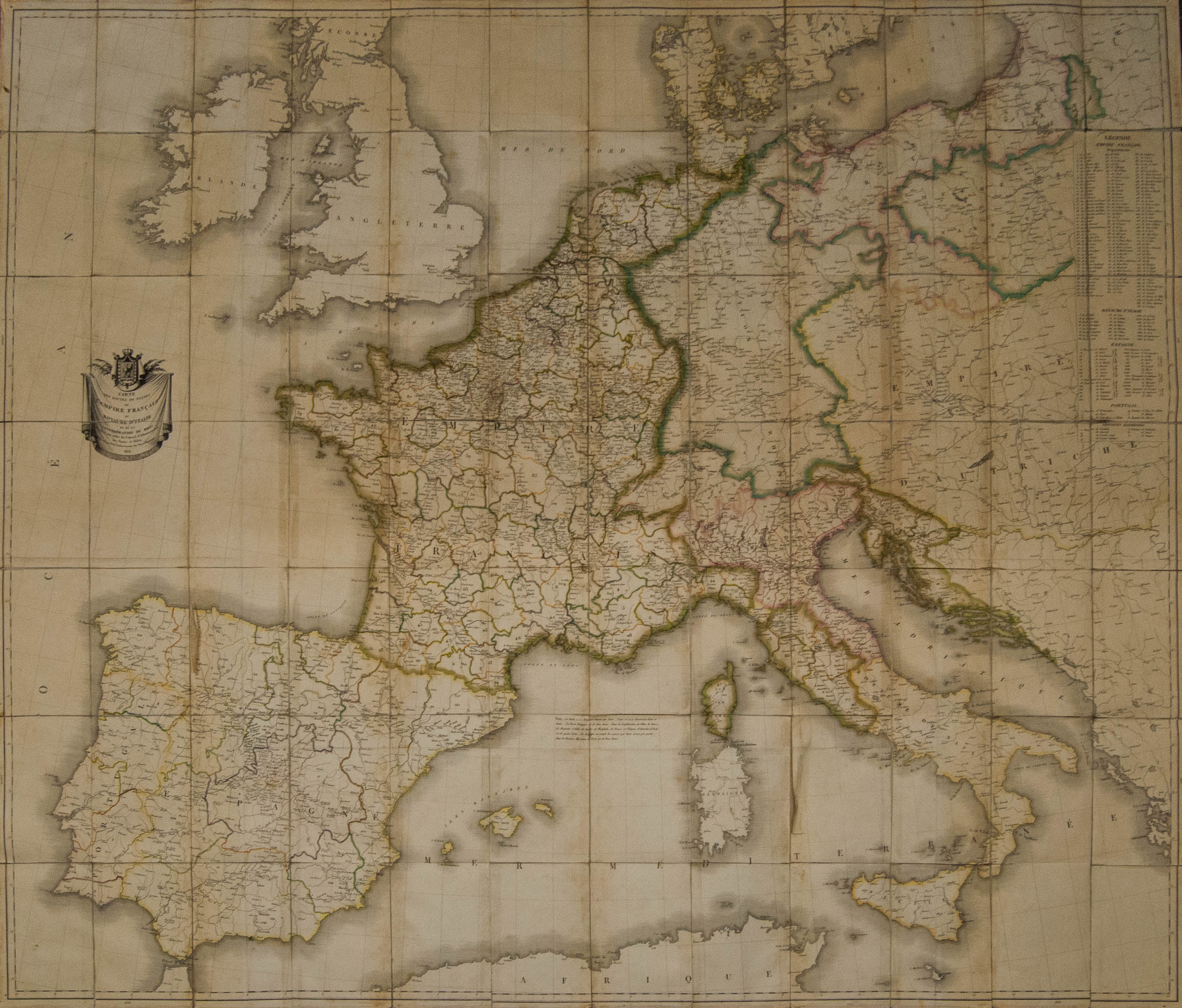
1812. Mapa de las Rutas Postales del Imperio Francés, el Reino de Italia y de la Confederación del Rhin. París, 1812. Por Tardieu (140 cm x 121 cm). MAGNIFICO Y RARISIMO MAPA DE CORREOS EUROPEO-NAPOLEONICO, DONDE SE PONE DE MANIFIESTO EL INTERES NAPOLEONICO POR MOSTRAR LA COHESION COMUNICACIONAL DE SU VASTO IMPERIO.
![]() Cajita blanca
Cajita blanca
![]() 520g
520g
Precio 1.200€
Precio orientativo en otras divisas
-
 $ 1.396
-
 £ 1.049
-
 CHF 1.127