Bibliografía
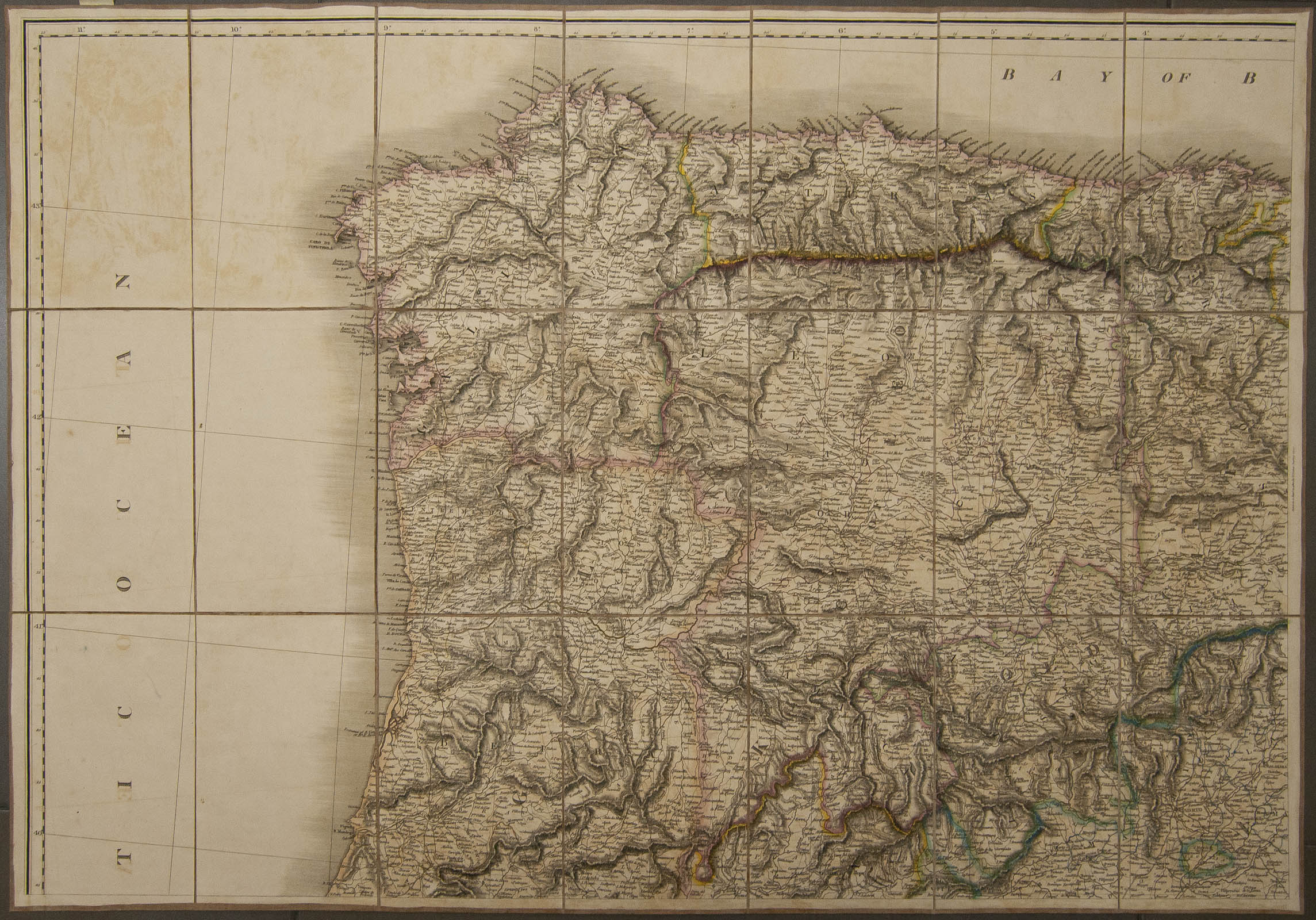

1820. MAPS OF THE KINGDONS OF SPAIN AND PORTUGAL INCLUDING ALGARVE. Mapa cuartelado y entelado en cuatro secciones por el editor (94 cm x 65 cm cada sección), incluyendo caminos postales. Londres, 1820. W. Faden. (muy raro)
Automatically generated translation
 1820. MAPS OF THE KINGDONS OF SPAIN AND PORTUGAL INCLUDING ALGARVE. Quartered and canvas map in four sections by the editor (94 cm x 65 cm each section), including postal routes. London, 1820. W. Faden. (very rare)